Constellation Fiordos De Aysén
Country: Chile
State: Aysen
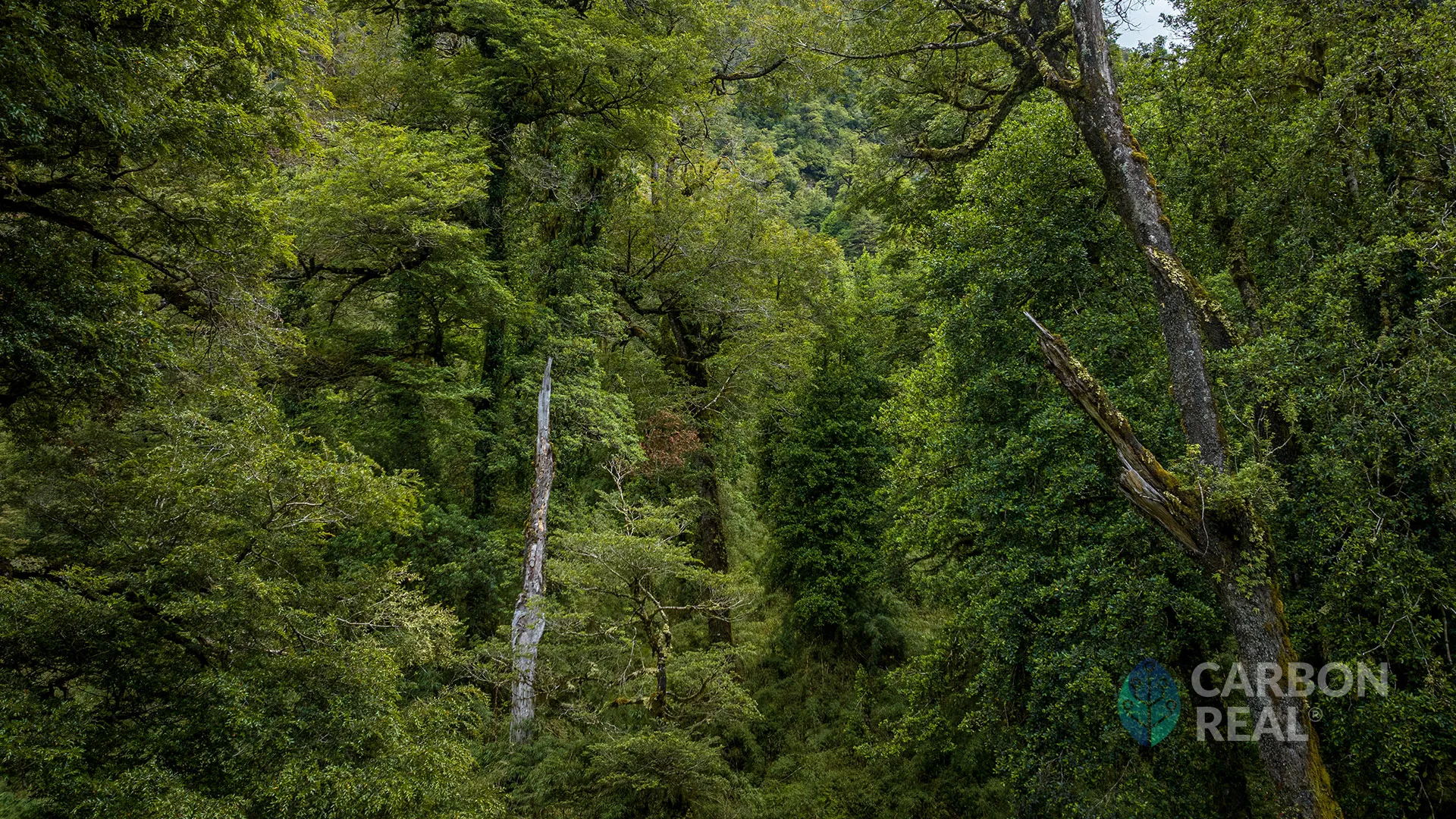
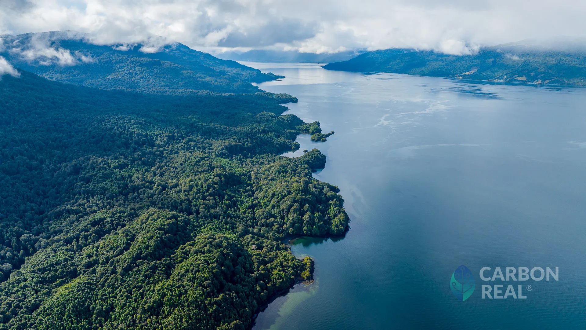
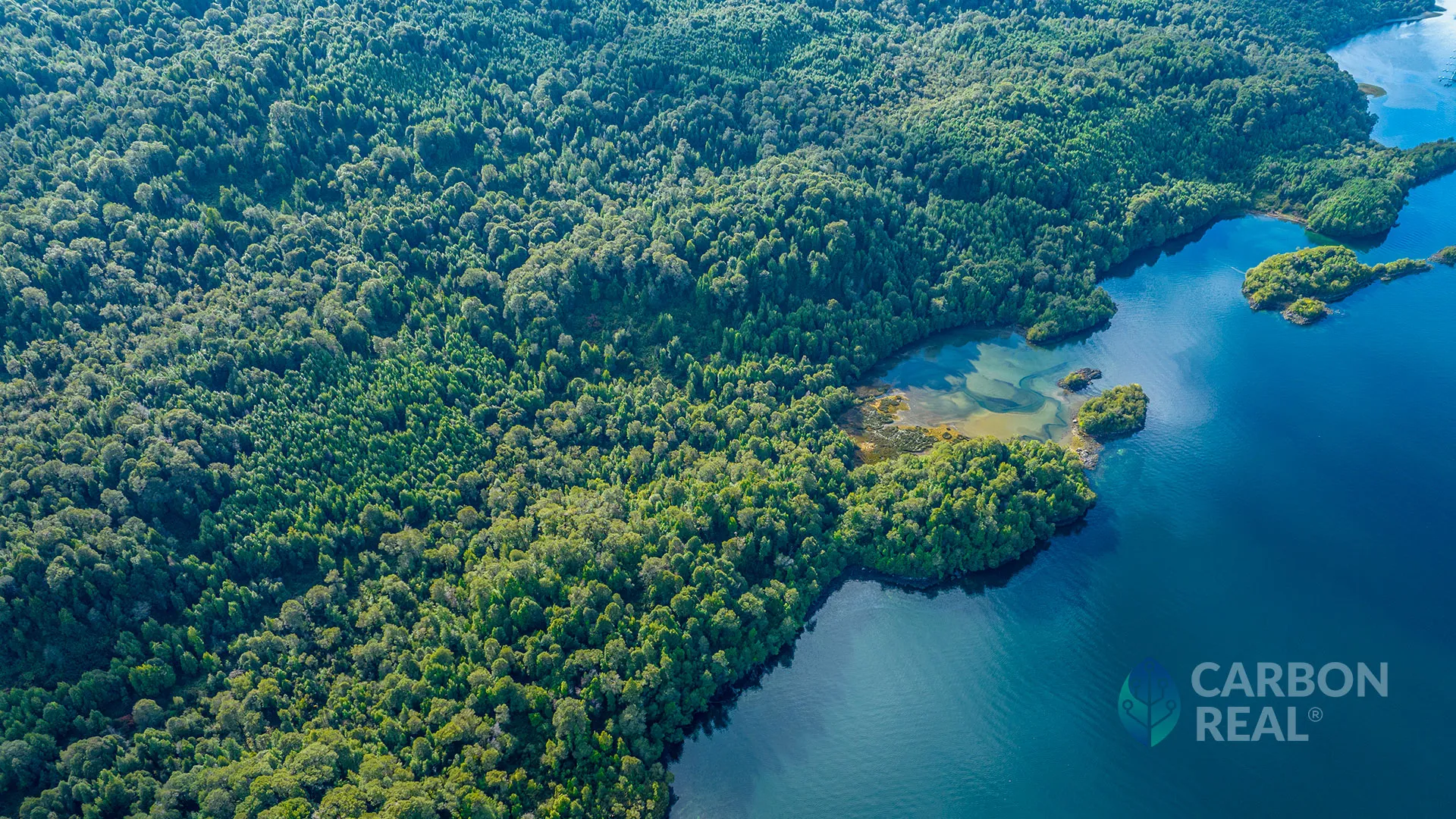
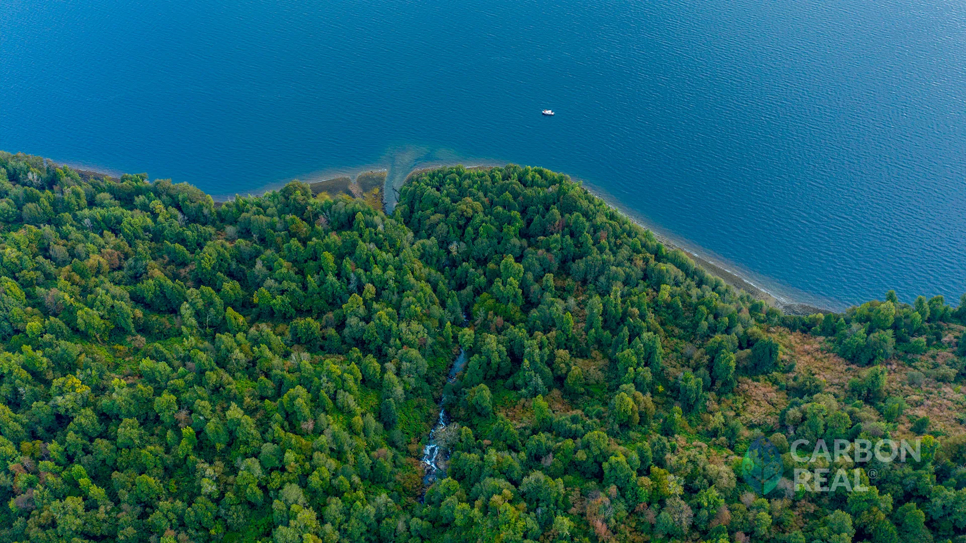
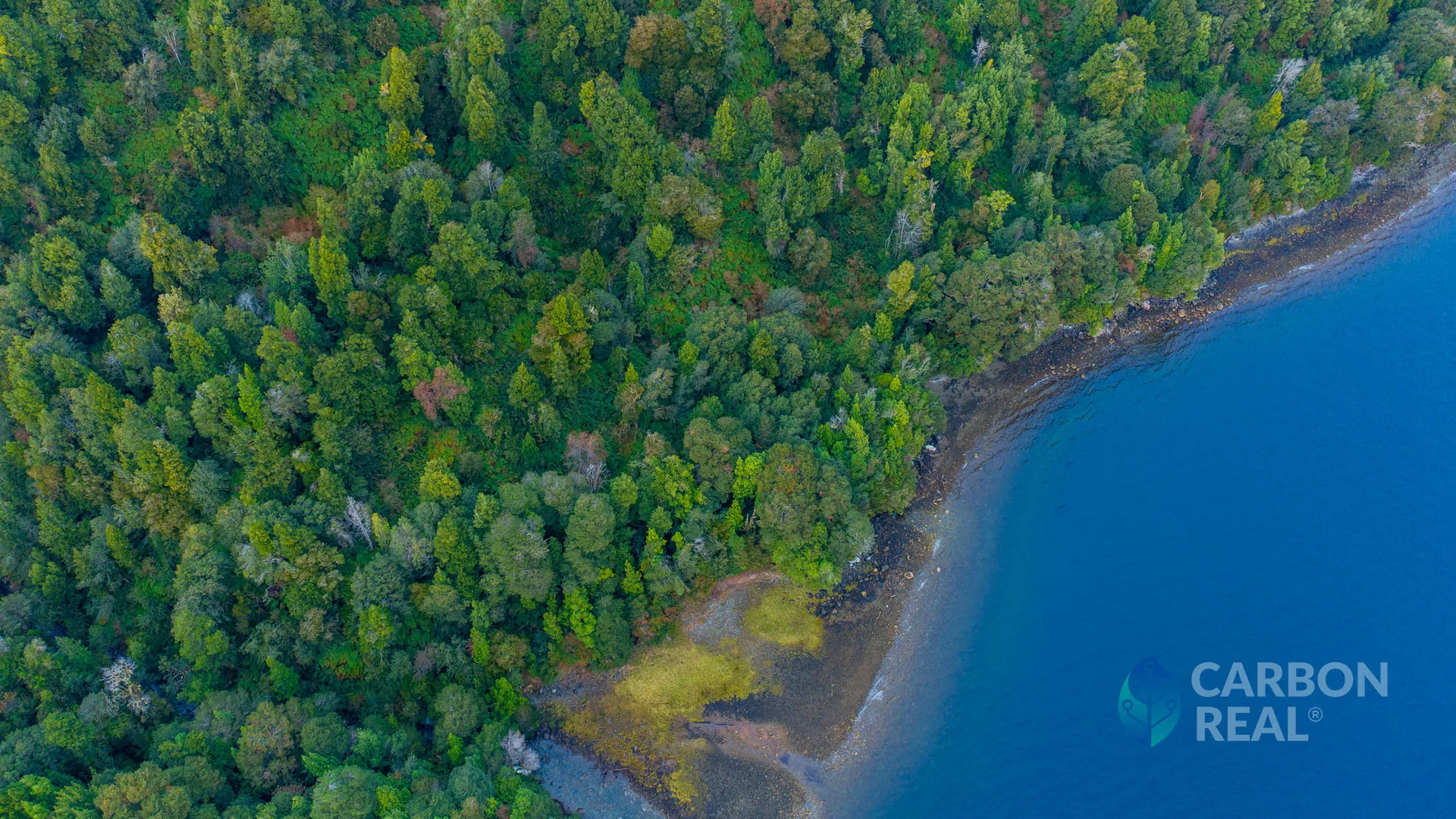
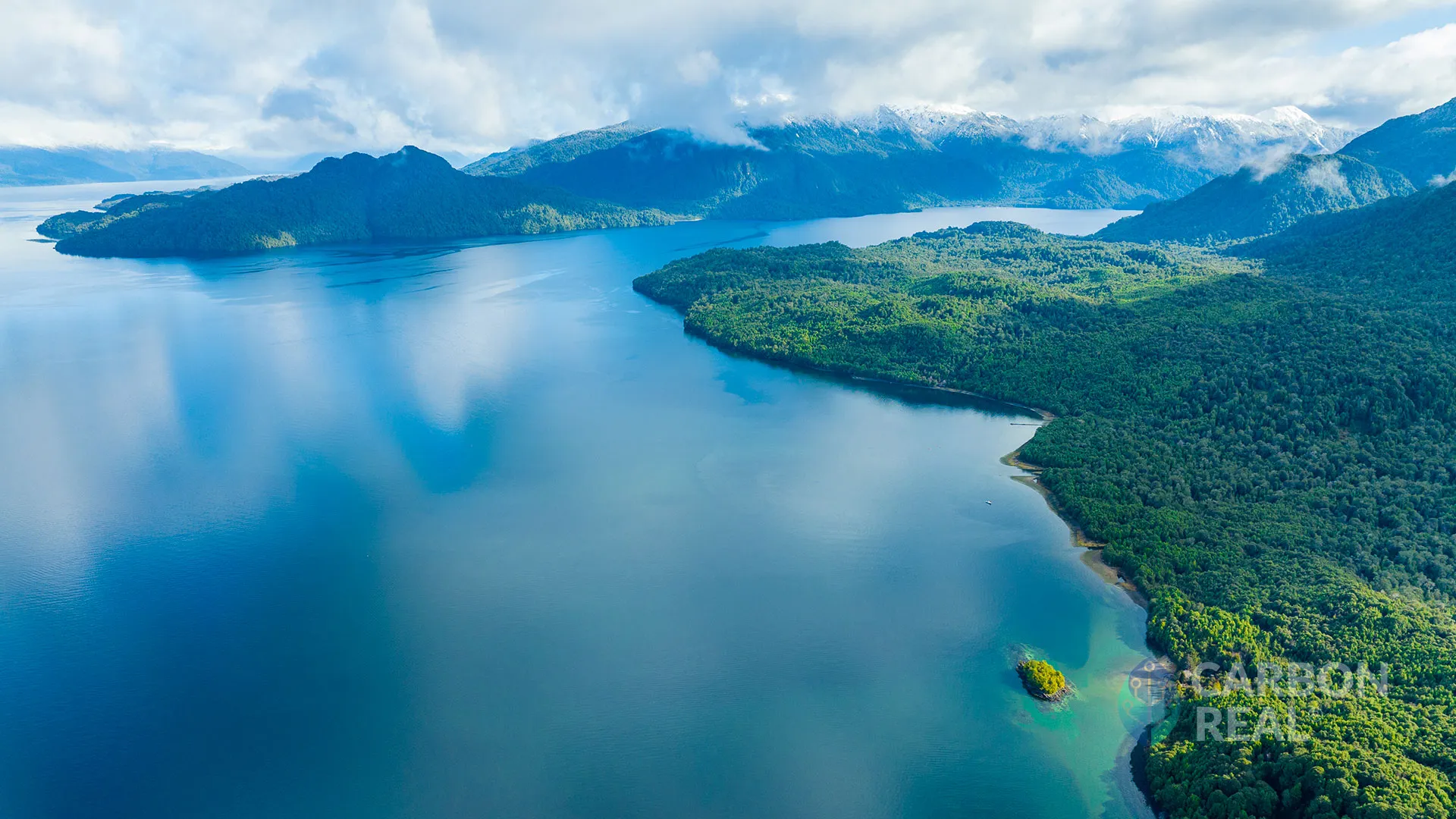
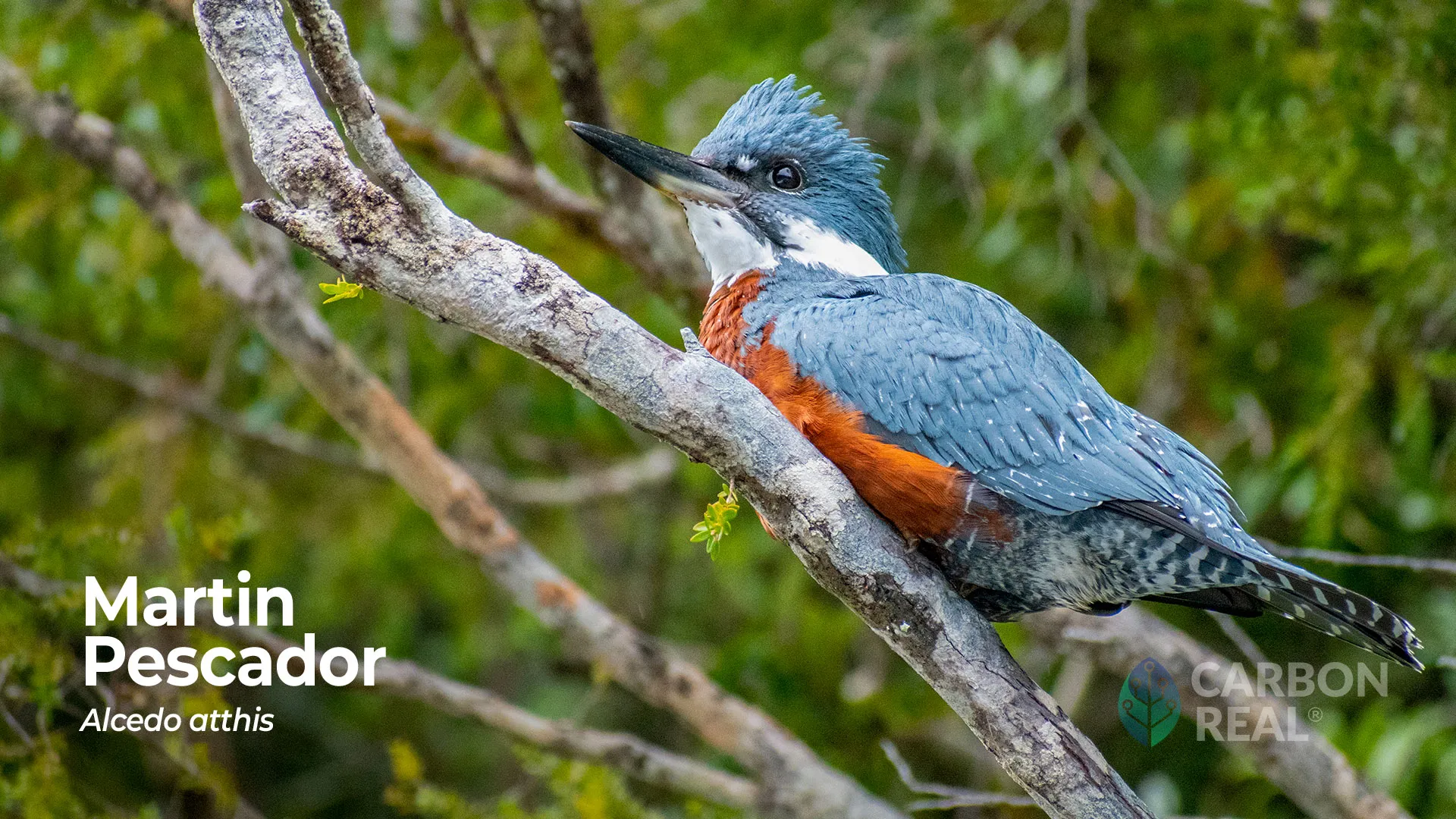
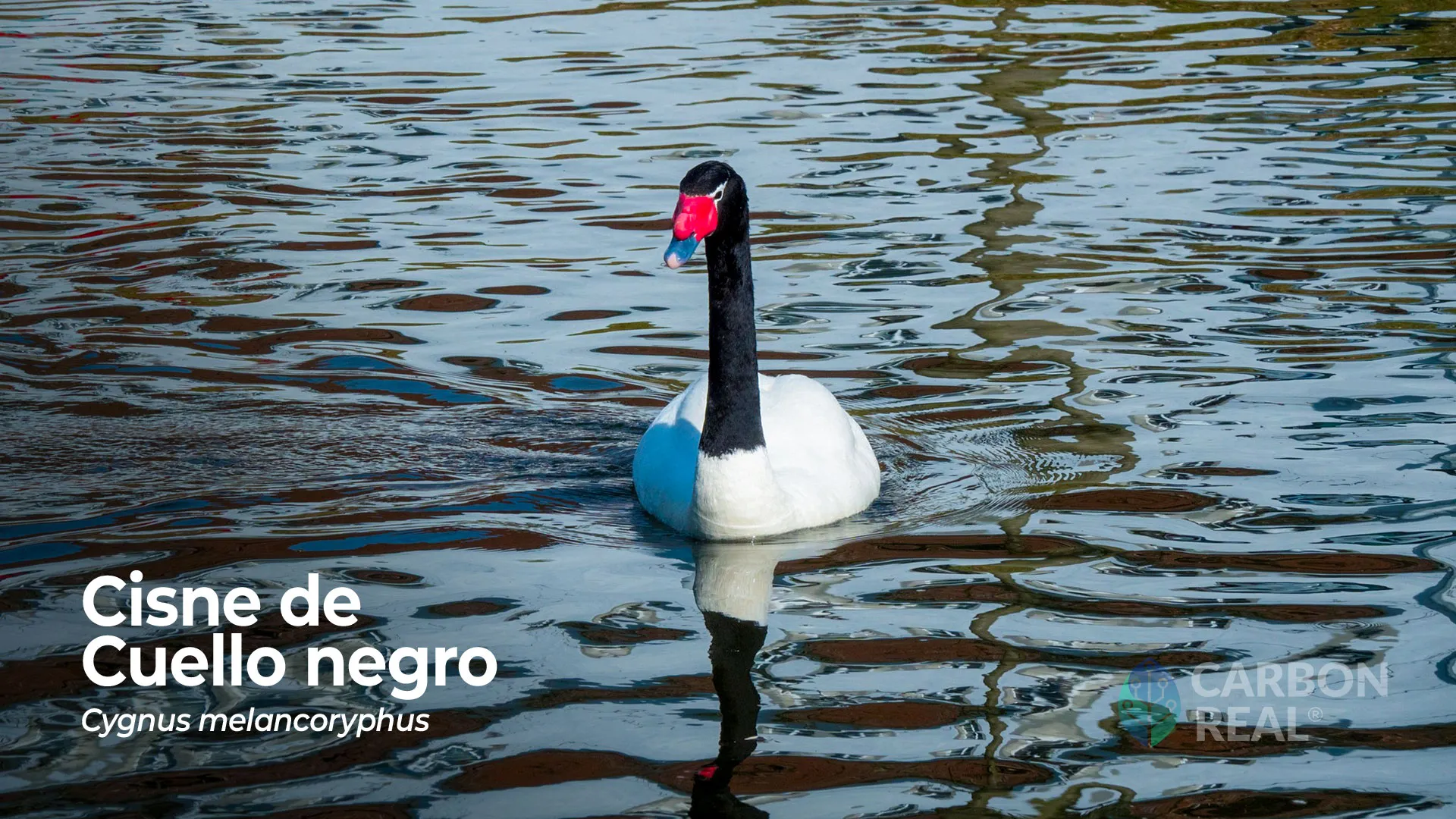
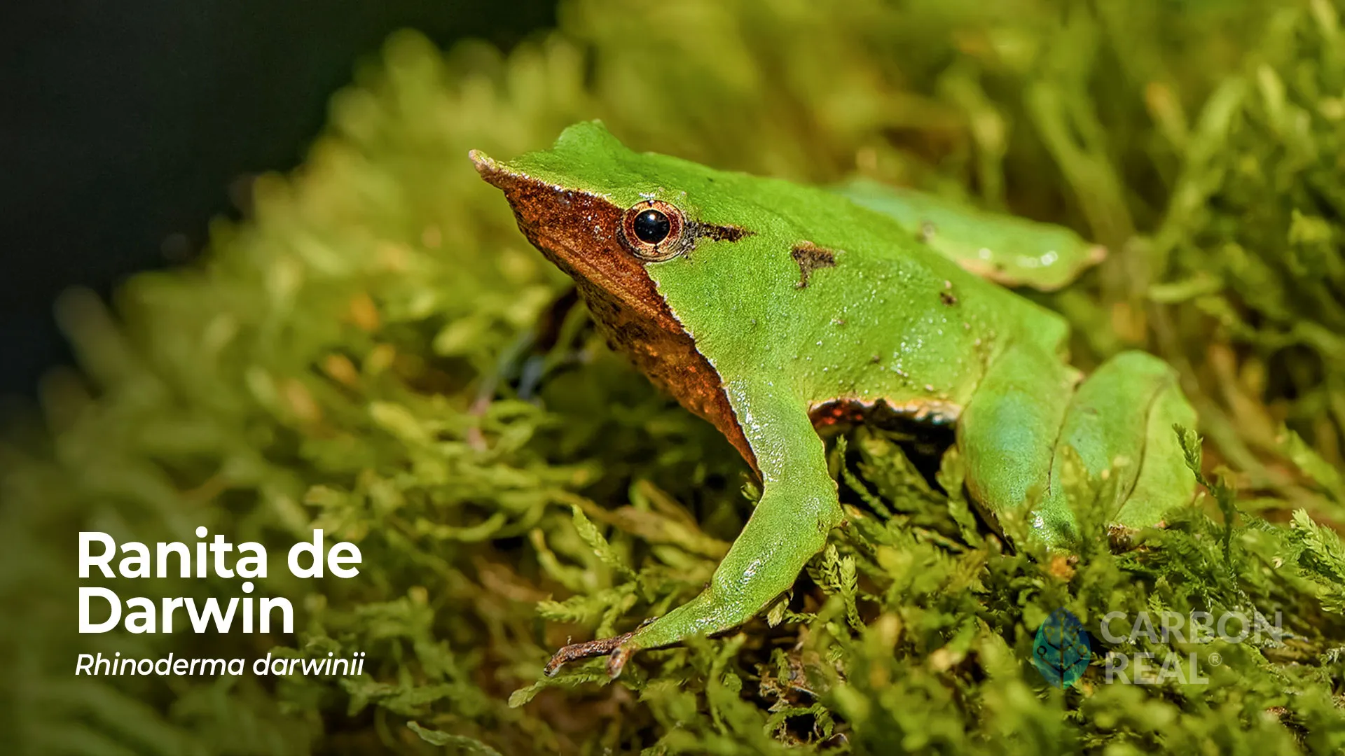
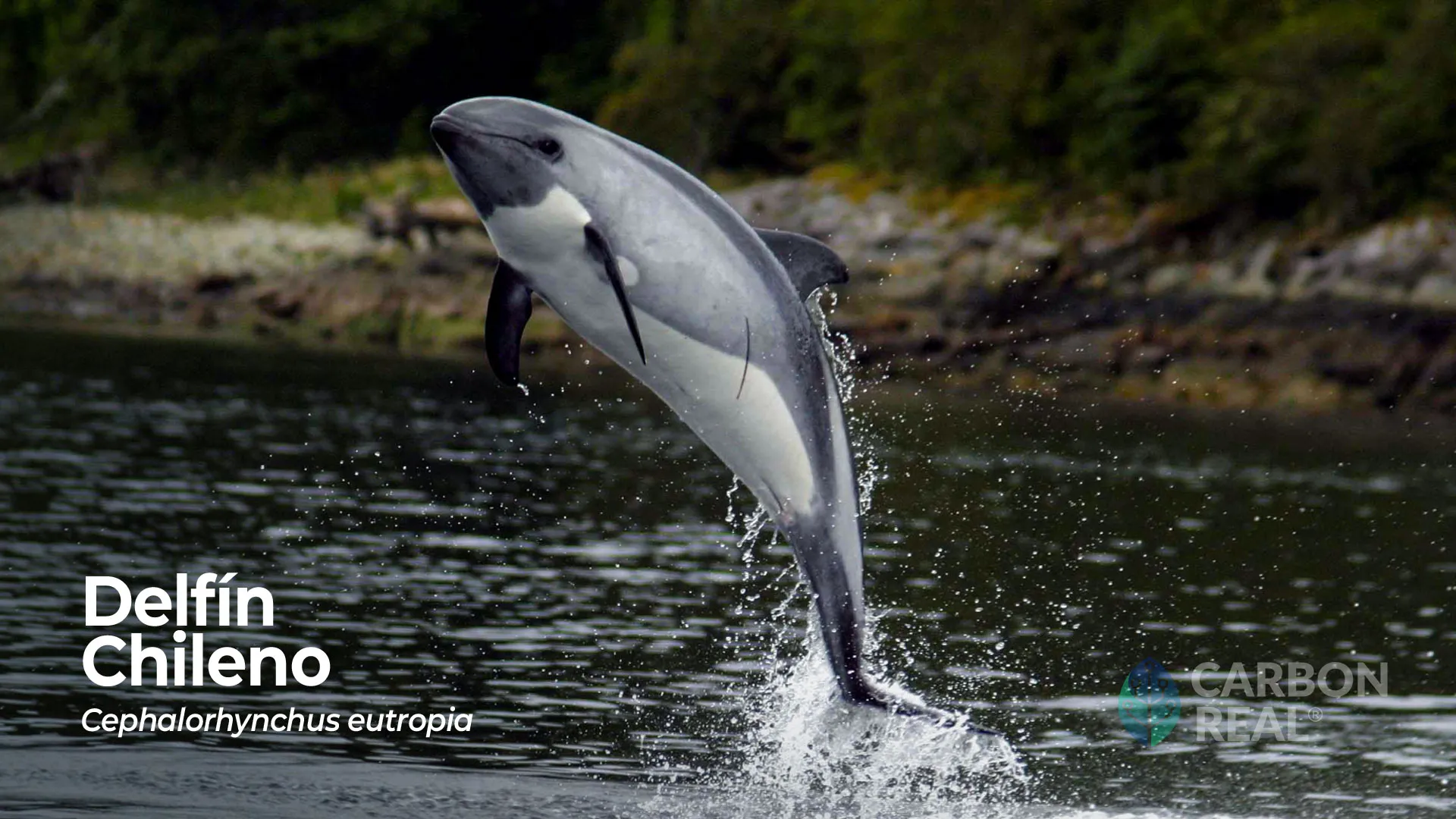
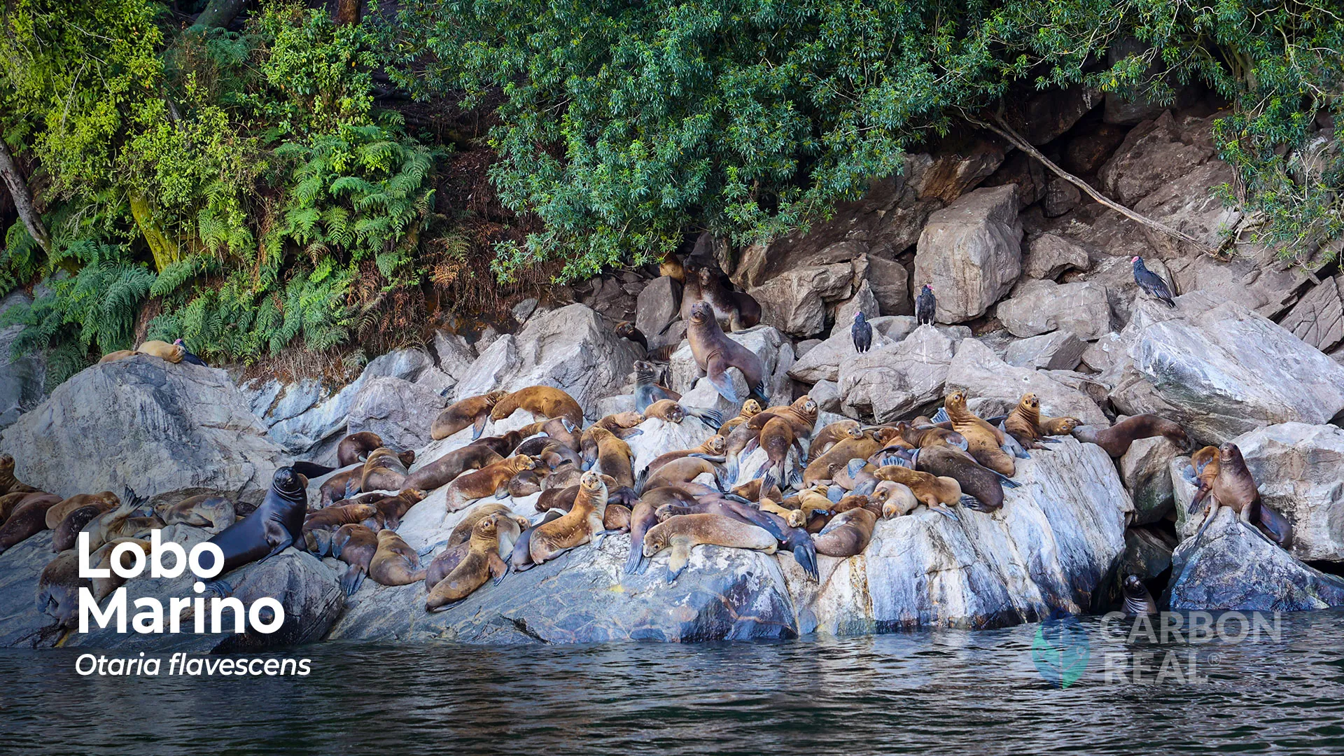
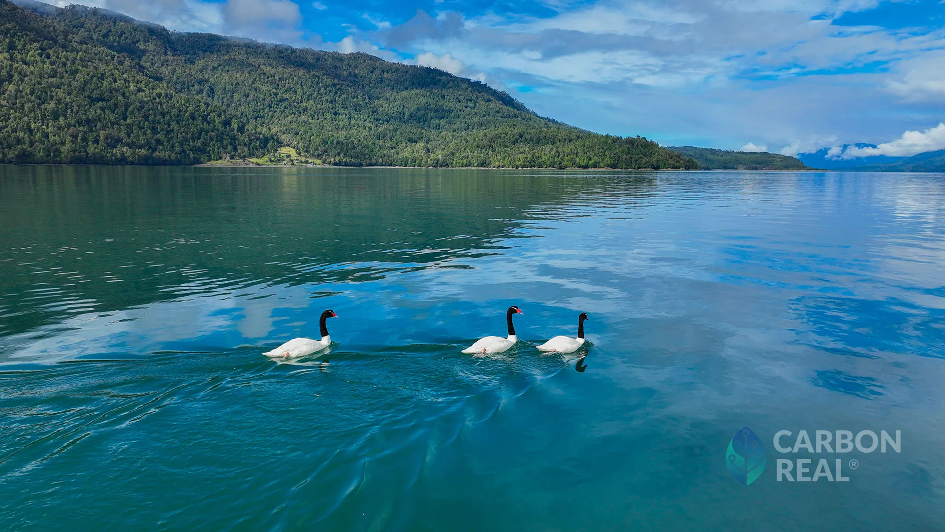
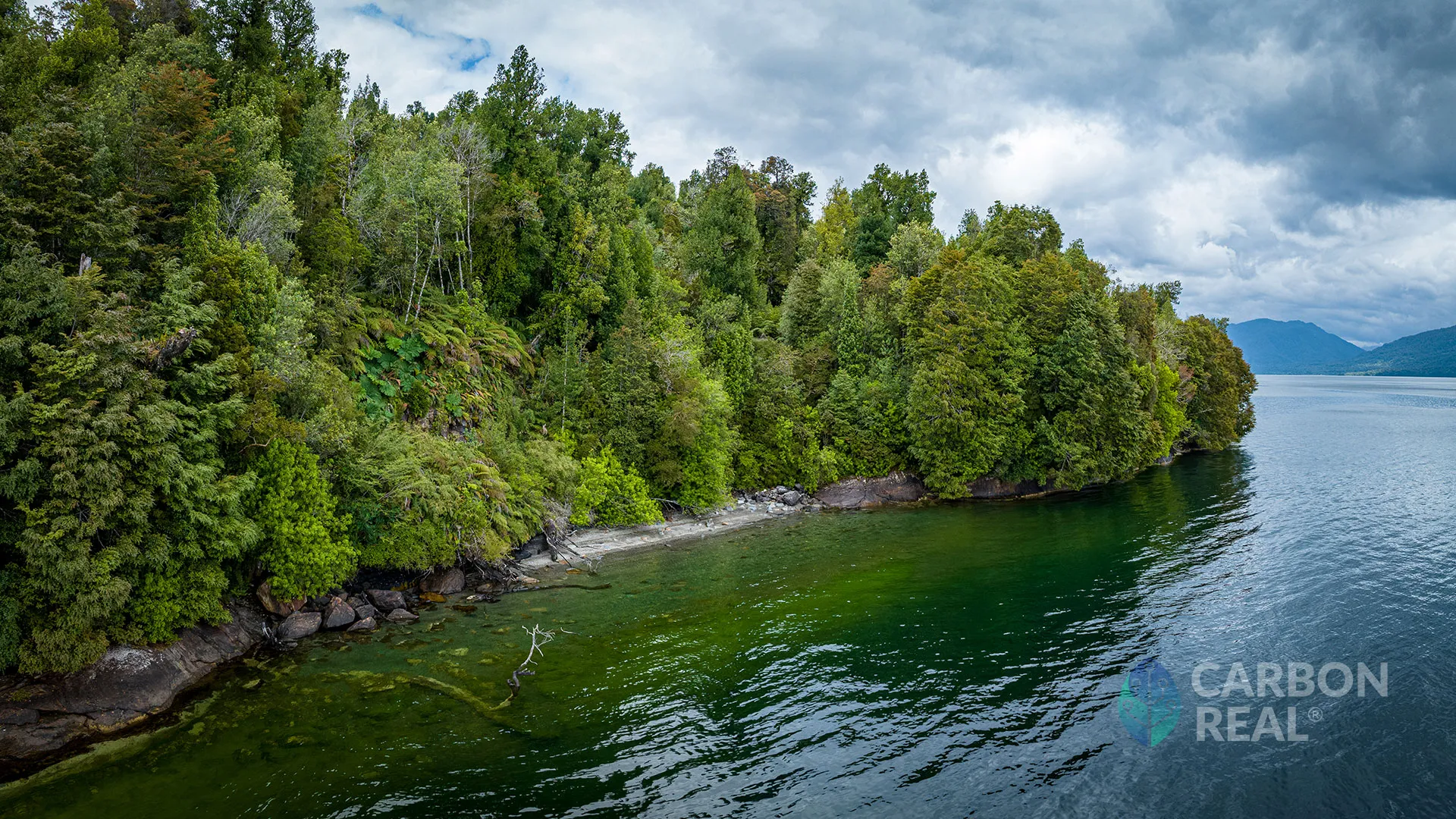
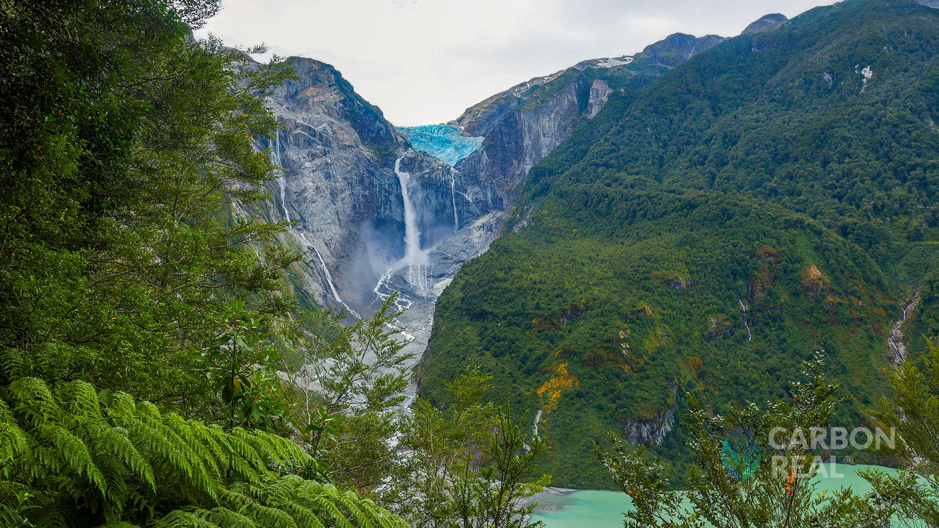
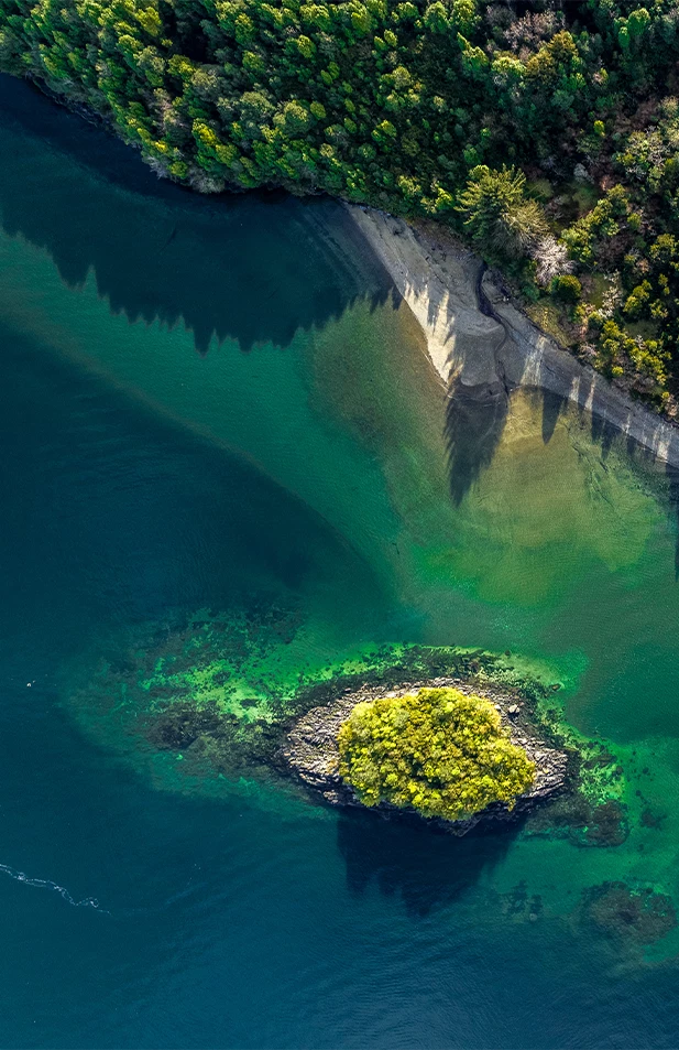
A constellation of conservation through constant measurement and ecosystem management that covers the Aysen fjords, the Yacaf channels, the Magdalena Island, the Quitralco Fjord, Exploradores Bay and extends to the San Rafael lagoon. The constellation will expand these areas over time. Located in the Aysén region of Chilean Patagonia, it serves as a unique model for sustainable development, preserving ecosystems while supporting local communities. It is part of the Temperate and Mixed Broadleaf Forests Biome and 'Chilean Winter Rainfall-Valdivian Forests' biodiversity hotspot, a global conservation priority. The region's Puyuhuapi evergreen forest hosts diverse fauna, flora, and fungi, serving as crucial habitat for endangered species.
Impact
This project has an impact on
Clear, transparent, and real-time monitoring of CO2 fluxes.
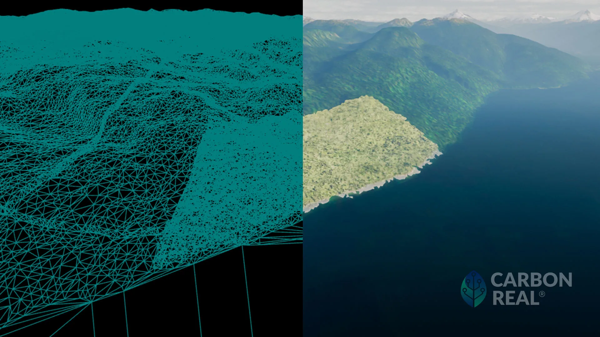
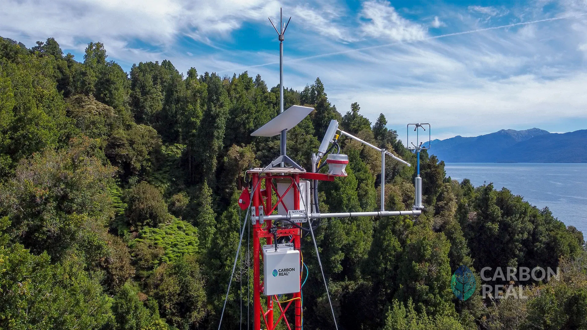
Carbon Real has pioneered the development of a methodology to enhance Net Ecosystem Exchange measurement and the digital monitoring, reporting, and verification (dMRV) process. This state-of-the-art system leverages advanced technologies to facilitate real-time observation of CO2 emission reductions globally. All raw sensor data, preserved in its original units and format, along with processed data, is securely uploaded to a public and decentralized system known as IPFS. By utilizing blockchain-based infrastructure, we ensure data immutability once uploaded, providing robust accountability and security.
Commitment to Guidelines
Constellation Fiordos De Aysén aligns with the Integrity Council for Voluntary Market (ICVCM) and Carbon Credit Quality Initiative (CCQI) standards by following an integrated approach to environmental conservation and carbon offset initiatives. The Project prioritizes the ICVCM standards, recognizing their comprehensive focus on both social and environmental aspects, particularly in biodiversity conservation.
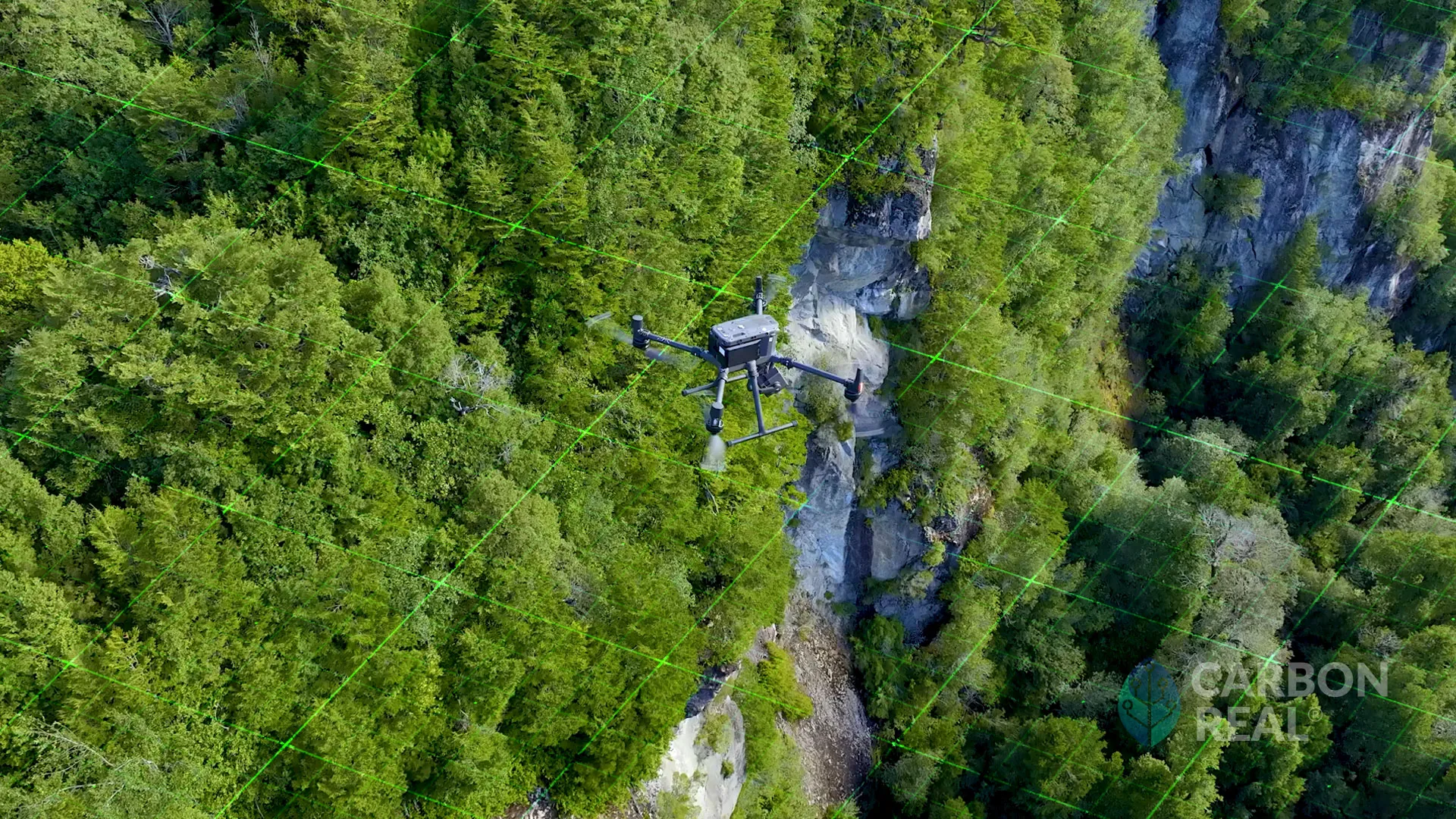
By adopting the ICVCM's specialized criteria for biodiversity protection and resource conservation, the Project ensures that its certified Carbon Offset actions extend beyond emissions reduction, significantly contributing to the preservation and restoration of natural habitats. Additionally, the project's use of advanced technologies, such as satellites, drones, and sensors, aligns with CCQI requirements, providing precise and transparent measurements of key indicators. This integration enhances the credibility of Carbon Credits generated by the project, reinforcing its commitment to environmental sustainability and responsible carbon offset practices.
